Bend in the A4049, Tirphil
Introduction
The photograph on this page of Bend in the A4049, Tirphil by Jaggery as part of the Geograph project.
The Geograph project started in 2005 with the aim of publishing, organising and preserving representative images for every square kilometre of Great Britain, Ireland and the Isle of Man.

There are currently over 7.5m images from over 14,400 individuals and you can help contribute to the project by visiting https://www.geograph.org.uk
Bend in the A4049, Tirphil
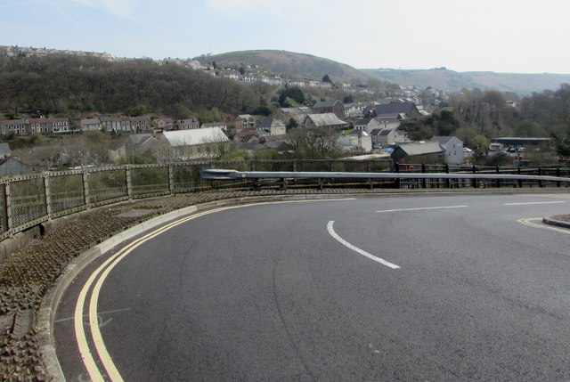
Image: © Jaggery Taken: 15 Apr 2019
Near Tir-Phil railway station. The entrance to platform 1 is near the camera. The entrance to platform 2 is out of shot ahead. Station name signs show either Tir-Phil or Tir-phil. The name of the village is also Tirphil in English.
Images are licensed for reuse under creativecommons.org/licenses/by-sa/2.0
Image Location
Latitude
51.721179
Longitude
-3.245953