Through Tir-Phil railway station
Introduction
The photograph on this page of Through Tir-Phil railway station by Jaggery as part of the Geograph project.
The Geograph project started in 2005 with the aim of publishing, organising and preserving representative images for every square kilometre of Great Britain, Ireland and the Isle of Man.

There are currently over 7.5m images from over 14,400 individuals and you can help contribute to the project by visiting https://www.geograph.org.uk
Through Tir-Phil railway station
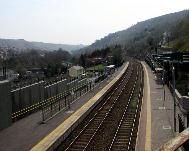
Image: © Jaggery Taken: 15 Apr 2019
Viewed from the A4049 bridge. In April 2019, Tir-Phil is a two-platform station on the Rhymney Line between Pontlottyn station and Brithdir station (ahead). Station name signs show either Tir-Phil or Tir-phil whereas the village name is usually spelt Tirphil in English. The station formerly had only one platform as seen here https://www.geograph.org.uk/photo/2243473 in January 2011.
Images are licensed for reuse under creativecommons.org/licenses/by-sa/2.0
Image Location
Latitude
51.720196
Longitude
-3.245347