Site of the former Church of the Holy Rood, Bagworth
Introduction
The photograph on this page of Site of the former Church of the Holy Rood, Bagworth by Tim Heaton as part of the Geograph project.
The Geograph project started in 2005 with the aim of publishing, organising and preserving representative images for every square kilometre of Great Britain, Ireland and the Isle of Man.

There are currently over 7.5m images from over 14,400 individuals and you can help contribute to the project by visiting https://www.geograph.org.uk
Site of the former Church of the Holy Rood, Bagworth
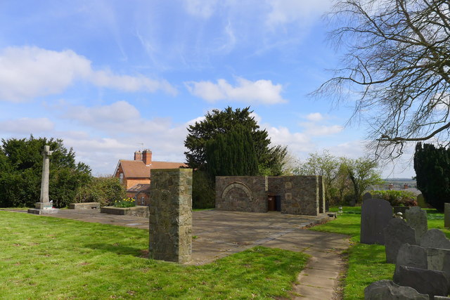
Image: © Tim Heaton Taken: 6 Apr 2019
The original church, dating back to Norman times, suffered from subsidence caused by coal mining, and was demolished in 1968.
Images are licensed for reuse under creativecommons.org/licenses/by-sa/2.0
Image Location
Latitude
52.667228
Longitude
-1.337054