National Cycle Network Route 46 direction sign in Tredegar
Introduction
The photograph on this page of National Cycle Network Route 46 direction sign in Tredegar by Jaggery as part of the Geograph project.
The Geograph project started in 2005 with the aim of publishing, organising and preserving representative images for every square kilometre of Great Britain, Ireland and the Isle of Man.

There are currently over 7.5m images from over 14,400 individuals and you can help contribute to the project by visiting https://www.geograph.org.uk
National Cycle Network Route 46 direction sign in Tredegar
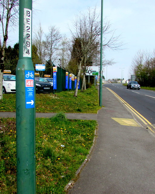
Image: © Jaggery Taken: 15 Apr 2019
On lamppost BE2294 alongside the A4048 in the north of Tredegar viewed in April 2019. Known as the Heads of the Valleys Route, this part of Route 46 extends from Brynmawr to Neath. When complete, National Cycle Network Route 46 will extend from Bromsgrove to Neath.
Images are licensed for reuse under creativecommons.org/licenses/by-sa/2.0
Image Location
Latitude
51.786399
Longitude
-3.259928