Footpath near Highfield Farm
Introduction
The photograph on this page of Footpath near Highfield Farm by Oliver Dixon as part of the Geograph project.
The Geograph project started in 2005 with the aim of publishing, organising and preserving representative images for every square kilometre of Great Britain, Ireland and the Isle of Man.

There are currently over 7.5m images from over 14,400 individuals and you can help contribute to the project by visiting https://www.geograph.org.uk
Footpath near Highfield Farm
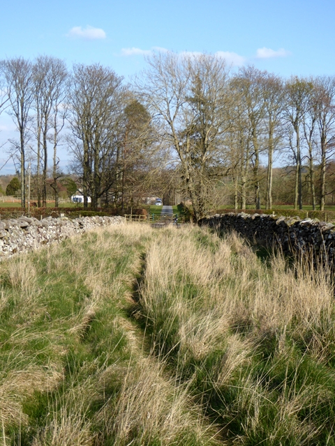
Image: © Oliver Dixon Taken: 11 Apr 2019
The path runs through a corridor flanked by stone walls on the same alignment as the driveway to Lowclose on the far side of the road.
Images are licensed for reuse under creativecommons.org/licenses/by-sa/2.0
Image Location
Latitude
54.619576
Longitude
-2.757088