Merthyr Road bus stop and shelter near the Nags Head, Tafarnaubach
Introduction
The photograph on this page of Merthyr Road bus stop and shelter near the Nags Head, Tafarnaubach by Jaggery as part of the Geograph project.
The Geograph project started in 2005 with the aim of publishing, organising and preserving representative images for every square kilometre of Great Britain, Ireland and the Isle of Man.

There are currently over 7.5m images from over 14,400 individuals and you can help contribute to the project by visiting https://www.geograph.org.uk
Merthyr Road bus stop and shelter near the Nags Head, Tafarnaubach
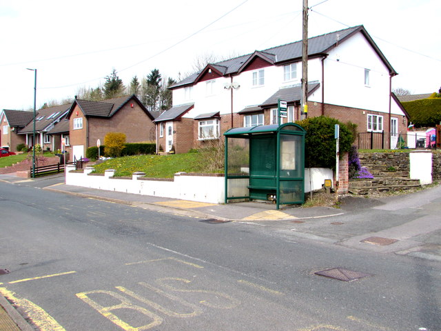
Image: © Jaggery Taken: 15 Apr 2019
In April 2019 the shelter is alongside a stop on Harris Coaches bus route 20 to Tredegar. The stop on the camera side is for buses to Rhymney and Rhymney railway station. The Nags Head pub https://www.geograph.org.uk/photo/6120426 is out of shot on the right.
Images are licensed for reuse under creativecommons.org/licenses/by-sa/2.0
Image Location
Latitude
51.78461
Longitude
-3.275681