Footpath and county boundary, near Keymer
Introduction
The photograph on this page of Footpath and county boundary, near Keymer by Malc McDonald as part of the Geograph project.
The Geograph project started in 2005 with the aim of publishing, organising and preserving representative images for every square kilometre of Great Britain, Ireland and the Isle of Man.

There are currently over 7.5m images from over 14,400 individuals and you can help contribute to the project by visiting https://www.geograph.org.uk
Footpath and county boundary, near Keymer
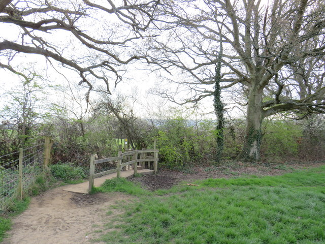
Image: © Malc McDonald Taken: 13 Apr 2019
A wooden stile on a public footpath near Keymer, in West Sussex. The stile is on the boundary with East Sussex, although the boundary is not marked.
Images are licensed for reuse under creativecommons.org/licenses/by-sa/2.0
Image Location
Latitude
50.923904
Longitude
-0.125691