Orchard Lane, Hassocks
Introduction
The photograph on this page of Orchard Lane, Hassocks by Malc McDonald as part of the Geograph project.
The Geograph project started in 2005 with the aim of publishing, organising and preserving representative images for every square kilometre of Great Britain, Ireland and the Isle of Man.

There are currently over 7.5m images from over 14,400 individuals and you can help contribute to the project by visiting https://www.geograph.org.uk
Orchard Lane, Hassocks
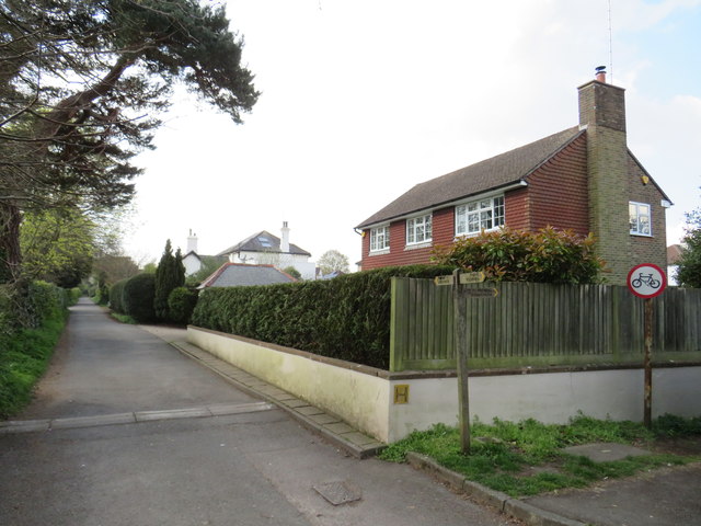
Image: © Malc McDonald Taken: 13 Apr 2019
Orchard Lane is a public right of way as a footpath, as indicated by the wooden signpost by the kerbside.
Images are licensed for reuse under creativecommons.org/licenses/by-sa/2.0
Image Location
Latitude
50.926706
Longitude
-0.137816