Draughton Hall, Low Lane, Draughton
Introduction
The photograph on this page of Draughton Hall, Low Lane, Draughton by Stephen Craven as part of the Geograph project.
The Geograph project started in 2005 with the aim of publishing, organising and preserving representative images for every square kilometre of Great Britain, Ireland and the Isle of Man.

There are currently over 7.5m images from over 14,400 individuals and you can help contribute to the project by visiting https://www.geograph.org.uk
Draughton Hall, Low Lane, Draughton
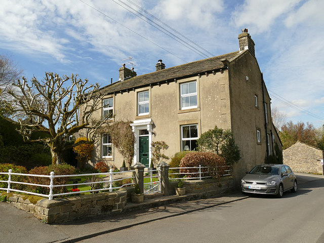
Image: © Stephen Craven Taken: 6 Apr 2019
Despite the name, this does not appear to be a historic property, and is not listed. It was probably originally a farmhouse.
Images are licensed for reuse under creativecommons.org/licenses/by-sa/2.0
Image Location


Leaflet Map data © OpenStreetMap
Latitude
53.96937
Longitude
-1.942189