North end of Humber Road, Lower Stoke, Coventry
Introduction
The photograph on this page of North end of Humber Road, Lower Stoke, Coventry by Robin Stott as part of the Geograph project.
The Geograph project started in 2005 with the aim of publishing, organising and preserving representative images for every square kilometre of Great Britain, Ireland and the Isle of Man.

There are currently over 7.5m images from over 14,400 individuals and you can help contribute to the project by visiting https://www.geograph.org.uk
North end of Humber Road, Lower Stoke, Coventry
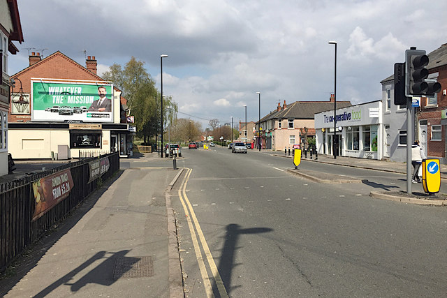
Image: © Robin Stott Taken: 13 Apr 2019
The open spaces ahead are Gosford Green on the left and Stoke Park on the right.
Images are licensed for reuse under creativecommons.org/licenses/by-sa/2.0
Image Location
Latitude
52.404026
Longitude
-1.486966