Flats on The Meadway
Introduction
The photograph on this page of Flats on The Meadway by Graham Horn as part of the Geograph project.
The Geograph project started in 2005 with the aim of publishing, organising and preserving representative images for every square kilometre of Great Britain, Ireland and the Isle of Man.

There are currently over 7.5m images from over 14,400 individuals and you can help contribute to the project by visiting https://www.geograph.org.uk
Flats on The Meadway
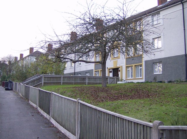
Image: © Graham Horn Taken: 10 Nov 2007
There are a number of blocks of these social house (council) flats along The Meadway, built in the 1960's as Reading expanded rapidly to the west. Attempts have been made recently to make them more attractive with coloured blocks of paintwork but if anything they now look more austere and quite threatening being raised a little bit above the road.
Images are licensed for reuse under creativecommons.org/licenses/by-sa/2.0
Image Location
Latitude
51.451239
Longitude
-1.017912