Listed barn at Church Farm
Introduction
The photograph on this page of Listed barn at Church Farm by Richard Law as part of the Geograph project.
The Geograph project started in 2005 with the aim of publishing, organising and preserving representative images for every square kilometre of Great Britain, Ireland and the Isle of Man.

There are currently over 7.5m images from over 14,400 individuals and you can help contribute to the project by visiting https://www.geograph.org.uk
Listed barn at Church Farm
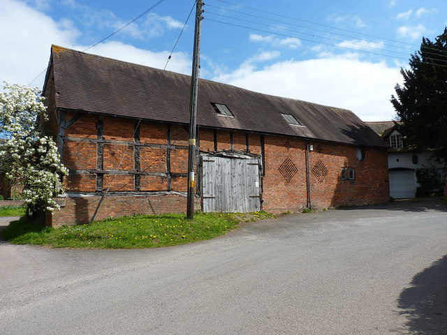
Image: © Richard Law Taken: 11 Apr 2019
Originally listed with the main farmhouse Image and other outbuildings in 1952, this 17th/18th century barn was separately listed https://britishlistedbuildings.co.uk/101226133-barn-approximately-30-metres-south-of-church-farmhouse-shustoke#.XLHhT-hKjcs & https://historicengland.org.uk/listing/the-list/list-entry/1226133 in 1988, and now holds its own designation.
Images are licensed for reuse under creativecommons.org/licenses/by-sa/2.0
Image Location
Latitude
52.515361
Longitude
-1.644083