Former railway route in Abertridwr
Introduction
The photograph on this page of Former railway route in Abertridwr by Jaggery as part of the Geograph project.
The Geograph project started in 2005 with the aim of publishing, organising and preserving representative images for every square kilometre of Great Britain, Ireland and the Isle of Man.

There are currently over 7.5m images from over 14,400 individuals and you can help contribute to the project by visiting https://www.geograph.org.uk
Former railway route in Abertridwr
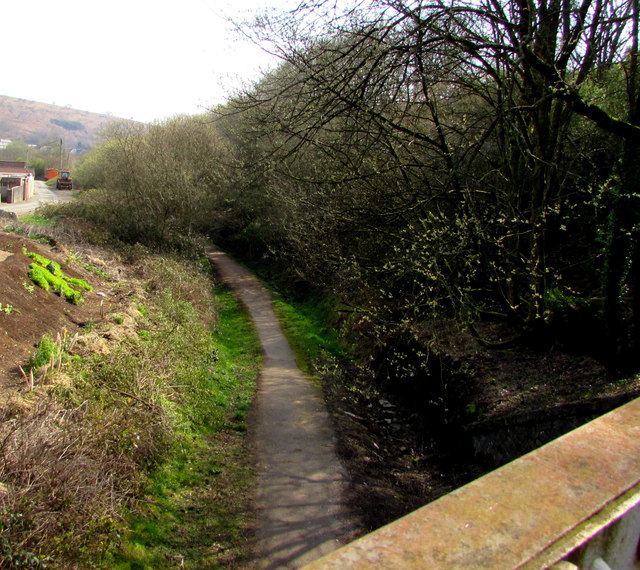
Image: © Jaggery Taken: 28 Mar 2019
Looking east from this https://www.geograph.org.uk/photo/6118333 bridge. Passenger services in this area ended in 1964.
Images are licensed for reuse under creativecommons.org/licenses/by-sa/2.0
Image Location
Latitude
51.592994
Longitude
-3.267706