National Cycle Route signs, Griffithstown
Introduction
The photograph on this page of National Cycle Route signs, Griffithstown by M J Roscoe as part of the Geograph project.
The Geograph project started in 2005 with the aim of publishing, organising and preserving representative images for every square kilometre of Great Britain, Ireland and the Isle of Man.

There are currently over 7.5m images from over 14,400 individuals and you can help contribute to the project by visiting https://www.geograph.org.uk
National Cycle Route signs, Griffithstown
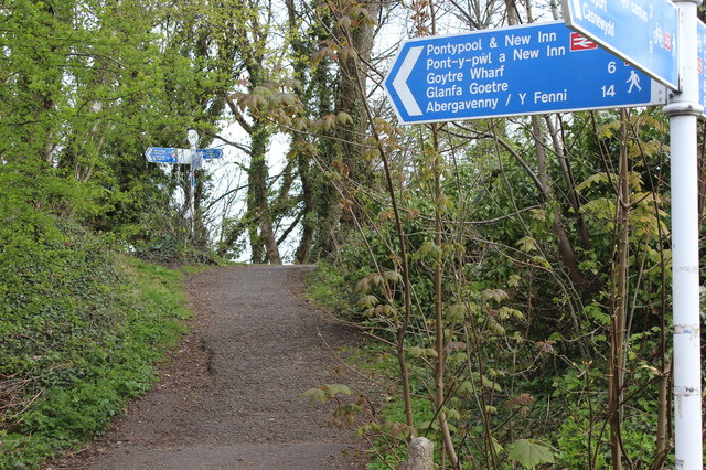
Image: © M J Roscoe Taken: 12 Apr 2019
NCRs 49 and 492 are close together here. The near bilingual sign is on the canal tow path, NCR 49, and appears to have been twisted round. The large sign should be pointing along the towpath, not to the far signpost. The far signpost is by NCR 492, on a dismantled railway.
Images are licensed for reuse under creativecommons.org/licenses/by-sa/2.0
Image Location
Latitude
51.69041
Longitude
-3.024484