Cheshire Street, E2
Introduction
The photograph on this page of Cheshire Street, E2 by Robin Webster as part of the Geograph project.
The Geograph project started in 2005 with the aim of publishing, organising and preserving representative images for every square kilometre of Great Britain, Ireland and the Isle of Man.

There are currently over 7.5m images from over 14,400 individuals and you can help contribute to the project by visiting https://www.geograph.org.uk
Cheshire Street, E2
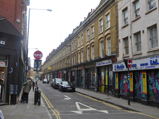
Image: © Robin Webster Taken: 6 Apr 2019
Looking east from Brick Lane. The long terrace is grade II listed, from about 1870.
Images are licensed for reuse under creativecommons.org/licenses/by-sa/2.0
Image Location


Leaflet Map data © OpenStreetMap
Latitude
51.523374
Longitude
-0.070331