Landgate, Rye
Introduction
The photograph on this page of Landgate, Rye by Simon Carey as part of the Geograph project.
The Geograph project started in 2005 with the aim of publishing, organising and preserving representative images for every square kilometre of Great Britain, Ireland and the Isle of Man.

There are currently over 7.5m images from over 14,400 individuals and you can help contribute to the project by visiting https://www.geograph.org.uk
Landgate, Rye
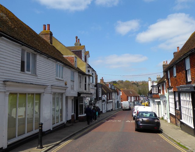
Image: © Simon Carey Taken: 11 Apr 2019
The name of the street that is part of the A268 as it heads north from the Land Gate.
Images are licensed for reuse under creativecommons.org/licenses/by-sa/2.0
Image Location
Latitude
50.953494
Longitude
0.735247