Farmland off Works Lane
Introduction
The photograph on this page of Farmland off Works Lane by Kate Jewell as part of the Geograph project.
The Geograph project started in 2005 with the aim of publishing, organising and preserving representative images for every square kilometre of Great Britain, Ireland and the Isle of Man.

There are currently over 7.5m images from over 14,400 individuals and you can help contribute to the project by visiting https://www.geograph.org.uk
Farmland off Works Lane
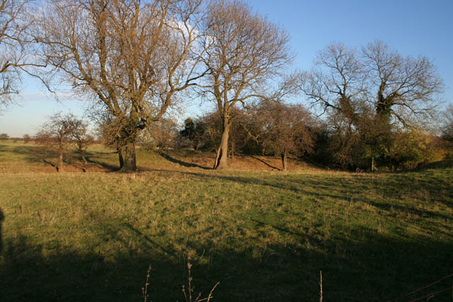
Image: © Kate Jewell Taken: 12 Nov 2007
Between the industrial area of the cement works and the residential housing on Works Lane is this unexpected glimpse of countryside.
Images are licensed for reuse under creativecommons.org/licenses/by-sa/2.0
Image Location
Latitude
52.909108
Longitude
-0.906907