Old Toll House, Ashill
Introduction
The photograph on this page of Old Toll House, Ashill by Alan Rosevear as part of the Geograph project.
The Geograph project started in 2005 with the aim of publishing, organising and preserving representative images for every square kilometre of Great Britain, Ireland and the Isle of Man.

There are currently over 7.5m images from over 14,400 individuals and you can help contribute to the project by visiting https://www.geograph.org.uk
Old Toll House, Ashill
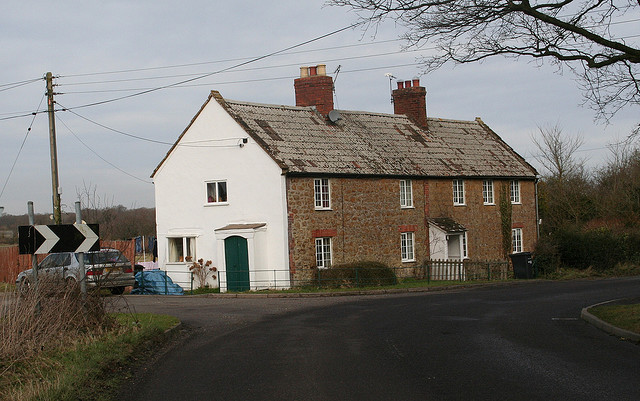
Image: © Alan Rosevear Taken: 12 Feb 2009
Ashill Toll House South East of Ashill at the junction of Cad Road and the old road to Horton Cross. Somerset HER. HER number: 45123 https://www.heritagegateway.org.uk/Gateway/Results_Single.aspx?uid=45123&resourceID=100 Surveyed Milestone Society National ID: SO.ASH
Images are licensed for reuse under creativecommons.org/licenses/by-sa/2.0
Image Location
Latitude
50.943125
Longitude
-2.948968