Old Toll House by Green Hill, Twyford
Introduction
The photograph on this page of Old Toll House by Green Hill, Twyford by Alan Rosevear as part of the Geograph project.
The Geograph project started in 2005 with the aim of publishing, organising and preserving representative images for every square kilometre of Great Britain, Ireland and the Isle of Man.

There are currently over 7.5m images from over 14,400 individuals and you can help contribute to the project by visiting https://www.geograph.org.uk
Old Toll House by Green Hill, Twyford
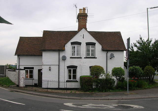
Image: © Alan Rosevear Taken: Unknown
Battlewell Toll House by the A4184 (was A435), in parish of Evesham (Wychavon District), Turnpike Cottage, Green Hill, Twyford, WR11 4TP. Surveyed Milestone Society National ID: WO.EVE
Images are licensed for reuse under creativecommons.org/licenses/by-sa/2.0
Image Location
Latitude
52.109102
Longitude
-1.944497