Old Toll House by Kingsland Lane, Shrewsbury
Introduction
The photograph on this page of Old Toll House by Kingsland Lane, Shrewsbury by Milestone Society as part of the Geograph project.
The Geograph project started in 2005 with the aim of publishing, organising and preserving representative images for every square kilometre of Great Britain, Ireland and the Isle of Man.

There are currently over 7.5m images from over 14,400 individuals and you can help contribute to the project by visiting https://www.geograph.org.uk
Old Toll House by Kingsland Lane, Shrewsbury
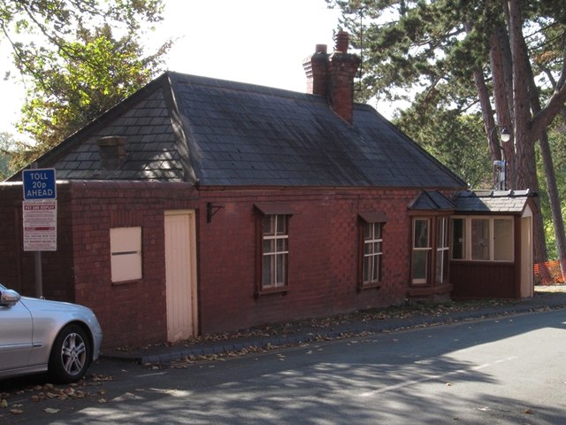
Image: © Milestone Society Taken: Unknown
Kingsland Bridge Toll House by the UC road, in parish of Shrewsbury (Shrewsbury and Atcham District), Toll House, Kingsland Lane, South of Murivance, North side of Kingsland Bridge, SY1 1JR. Surveyed Milestone Society National ID: SA.SHR01
Images are licensed for reuse under creativecommons.org/licenses/by-sa/2.0
Image Location
Latitude
52.705404
Longitude
-2.757701