Old Toll House, Burford Road, Black Bourton
Introduction
The photograph on this page of Old Toll House, Burford Road, Black Bourton by Alan Rosevear as part of the Geograph project.
The Geograph project started in 2005 with the aim of publishing, organising and preserving representative images for every square kilometre of Great Britain, Ireland and the Isle of Man.

There are currently over 7.5m images from over 14,400 individuals and you can help contribute to the project by visiting https://www.geograph.org.uk
Old Toll House, Burford Road, Black Bourton
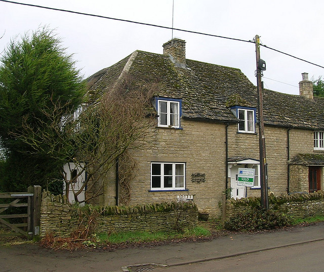
Image: © Alan Rosevear Taken: Unknown
Toll House in the parish of Black Bourton, Turnpike Cottage, Burford Road, OX18 2PF. Oxfordshire HER. HER Number: 10186 https://www.heritagegateway.org.uk/Gateway/Results_Single.aspx?uid=MOX2191&resourceID=1033 Surveyed Milestone Society National ID: OX.BLA
Images are licensed for reuse under creativecommons.org/licenses/by-sa/2.0
Image Location
Latitude
51.740715
Longitude
-1.585707