Old Toll House by Park Street, Stow on the Wold
Introduction
The photograph on this page of Old Toll House by Park Street, Stow on the Wold by Alan Rosevear as part of the Geograph project.
The Geograph project started in 2005 with the aim of publishing, organising and preserving representative images for every square kilometre of Great Britain, Ireland and the Isle of Man.

There are currently over 7.5m images from over 14,400 individuals and you can help contribute to the project by visiting https://www.geograph.org.uk
Old Toll House by Park Street, Stow on the Wold
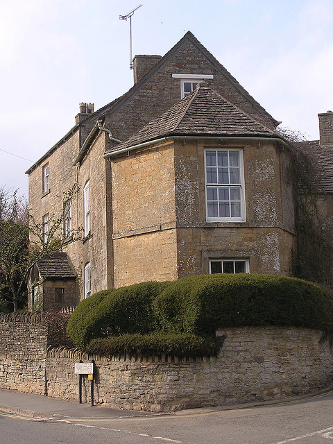
Image: © Alan Rosevear Taken: Unknown
Tollgate in the parish of Stow on the Wold (Cotswold District), Park Street (A436), GL54 1AJ. Grade II listed. List Entry Number: 1170724 https://historicengland.org.uk/listing/the-list/list-entry/1170724 Surveyed Milestone Society National ID: GL.STW01
Images are licensed for reuse under creativecommons.org/licenses/by-sa/2.0
Image Location


Leaflet Map data © OpenStreetMap
Latitude
51.928685
Longitude
-1.717572