Old Toll House by Pixon Lane, Tavistock
Introduction
The photograph on this page of Old Toll House by Pixon Lane, Tavistock by Alan Rosevear as part of the Geograph project.
The Geograph project started in 2005 with the aim of publishing, organising and preserving representative images for every square kilometre of Great Britain, Ireland and the Isle of Man.

There are currently over 7.5m images from over 14,400 individuals and you can help contribute to the project by visiting https://www.geograph.org.uk
Old Toll House by Pixon Lane, Tavistock
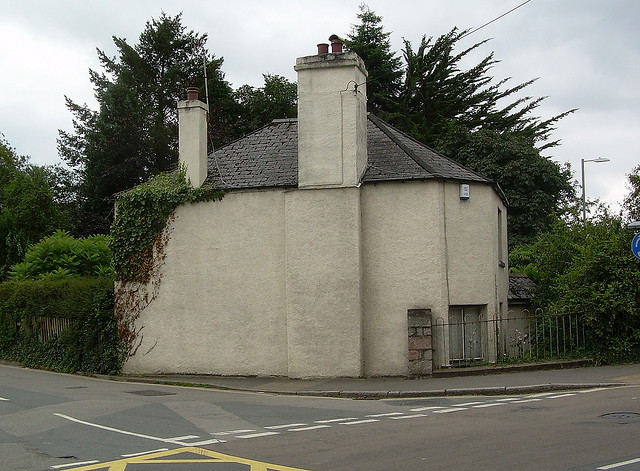
Image: © Alan Rosevear Taken: Unknown
Toll House by the Pixon Lane junction with the A386, in the parish of Tavistock (West Devon District). The Old Toll House (or Pixon Cottage), Pixon Lane, PL19 8JG. Devon & Dartmoor HER. HER Number: MDV12640 https://www.heritagegateway.org.uk/Gateway/Results_Single.aspx?uid=MDV12640&resourceID=104 Surveyed Milestone Society National ID: DV.TAV01
Images are licensed for reuse under creativecommons.org/licenses/by-sa/2.0
Image Location


Leaflet Map data © OpenStreetMap
Latitude
50.543383
Longitude
-4.150608