Former Abbot's Marsh Toll House, Barnstaple Road
Introduction
The photograph on this page of Former Abbot's Marsh Toll House, Barnstaple Road by Alan Rosevear as part of the Geograph project.
The Geograph project started in 2005 with the aim of publishing, organising and preserving representative images for every square kilometre of Great Britain, Ireland and the Isle of Man.

There are currently over 7.5m images from over 14,400 individuals and you can help contribute to the project by visiting https://www.geograph.org.uk
Former Abbot's Marsh Toll House, Barnstaple Road
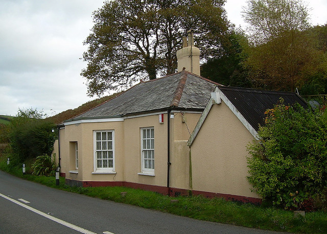
Image: © Alan Rosevear Taken: 11 Dec 2007
Toll House by the A377, in the parish of Burrington (North Devon District), Braggamarsh Cottage, Barnstaple Road, Abbot's Marsh. Grade II listed. List Entry Number: 1325728 https://historicengland.org.uk/listing/the-list/list-entry/1325728 Surveyed Milestone Society National ID: DV.BUT
Images are licensed for reuse under creativecommons.org/licenses/by-sa/2.0
Image Location


Leaflet Map data © OpenStreetMap
Latitude
50.958115
Longitude
-3.933852