Old Toll House, Stoberry
Introduction
The photograph on this page of Old Toll House, Stoberry by Alan Rosevear as part of the Geograph project.
The Geograph project started in 2005 with the aim of publishing, organising and preserving representative images for every square kilometre of Great Britain, Ireland and the Isle of Man.

There are currently over 7.5m images from over 14,400 individuals and you can help contribute to the project by visiting https://www.geograph.org.uk
Old Toll House, Stoberry
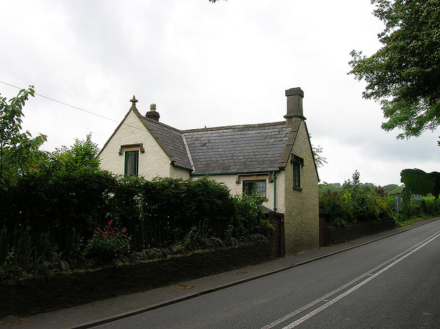
Image: © Alan Rosevear Taken: 29 May 2005
Toll House in the parish of Wells, Turnpike Cottage, Bristol Hill, North of the junction with Walcombe Lane, BA5 3AA. Grade II listed. List Entry Number: 1382879 https://historicengland.org.uk/listing/the-list/list-entry/1382879 Surveyed Milestone Society National ID: SO.WEL01
Images are licensed for reuse under creativecommons.org/licenses/by-sa/2.0
Image Location
Latitude
51.216749
Longitude
-2.644645