Old Barn, Hanwood Road, Hanwood
Introduction
The photograph on this page of Old Barn, Hanwood Road, Hanwood by Milestone Society as part of the Geograph project.
The Geograph project started in 2005 with the aim of publishing, organising and preserving representative images for every square kilometre of Great Britain, Ireland and the Isle of Man.

There are currently over 7.5m images from over 14,400 individuals and you can help contribute to the project by visiting https://www.geograph.org.uk
Old Barn, Hanwood Road, Hanwood
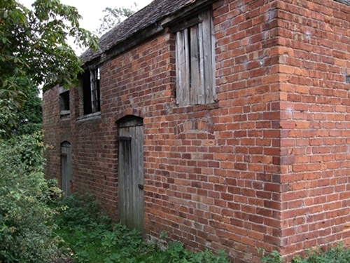
Image: © Milestone Society Taken: Unknown
An old barn just South West of the junction of Hanwood Road (A488) and Nobold Lane, and adjacent to the site of the old toll house, which has been demolished. Former Toll House reference:- Shropshire HER. HER Number (PRN): 15318 https://www.heritagegateway.org.uk/Gateway/Results_Single.aspx?uid=MSA17225&resourceID=1015 To be surveyed Milestone Society National ID: SA.SHR04
Images are licensed for reuse under creativecommons.org/licenses/by-sa/2.0
Image Location
Latitude
52.697269
Longitude
-2.786459