Old Toll House by the A6102, Oughtibridge
Introduction
The photograph on this page of Old Toll House by the A6102, Oughtibridge by Alan Rosevear as part of the Geograph project.
The Geograph project started in 2005 with the aim of publishing, organising and preserving representative images for every square kilometre of Great Britain, Ireland and the Isle of Man.

There are currently over 7.5m images from over 14,400 individuals and you can help contribute to the project by visiting https://www.geograph.org.uk
Old Toll House by the A6102, Oughtibridge
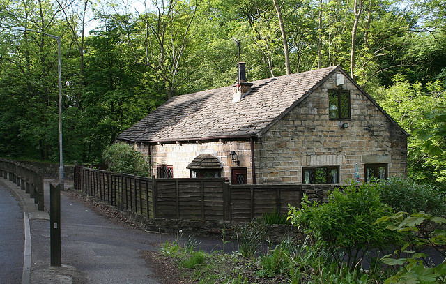
Image: © Alan Rosevear Taken: 29 May 2006
Middlewood Toll House by the A6102 (was A616), in parish of Sheffield (Sheffield District), Toll Bar Cottage, Middlewood Road North, Oughtibridge, S35 0HE. Surveyed Milestone Society National ID: YS.SHE03
Images are licensed for reuse under creativecommons.org/licenses/by-sa/2.0
Image Location
Latitude
53.42859
Longitude
-1.527921