Old Toll House, Wells
Introduction
The photograph on this page of Old Toll House, Wells by Alan Rosevear as part of the Geograph project.
The Geograph project started in 2005 with the aim of publishing, organising and preserving representative images for every square kilometre of Great Britain, Ireland and the Isle of Man.

There are currently over 7.5m images from over 14,400 individuals and you can help contribute to the project by visiting https://www.geograph.org.uk
Old Toll House, Wells
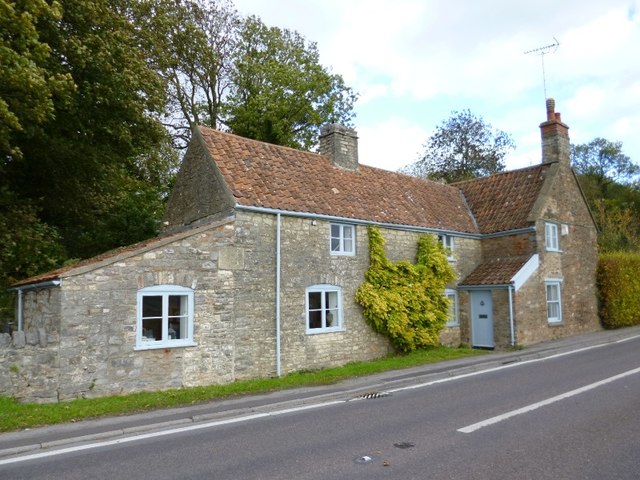
Image: © Alan Rosevear Taken: 30 Oct 2013
Toll House in the parish of Wells, Tor Hill Gate Cottage, Tor Hill. Grade II listed. List Entry Number: 1383181 https://historicengland.org.uk/listing/the-list/list-entry/1383181 Surveyed Milestone Society National ID: SO.WEL03
Images are licensed for reuse under creativecommons.org/licenses/by-sa/2.0
Image Location


Leaflet Map data © OpenStreetMap
Latitude
51.206893
Longitude
-2.63337