Belfast: stream alongside Cavehill Road
Introduction
The photograph on this page of Belfast: stream alongside Cavehill Road by Chris Downer as part of the Geograph project.
The Geograph project started in 2005 with the aim of publishing, organising and preserving representative images for every square kilometre of Great Britain, Ireland and the Isle of Man.

There are currently over 7.5m images from over 14,400 individuals and you can help contribute to the project by visiting https://www.geograph.org.uk
Belfast: stream alongside Cavehill Road
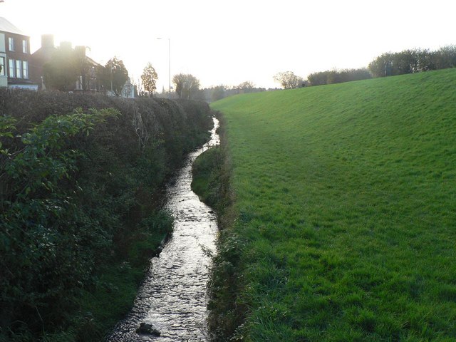
Image: © Chris Downer Taken: 12 Nov 2007
This stream runs alongside Cavehill Road (to the left), while up the bank on the right are the Antrim Road Waterworks, now a lake in a public park.
Images are licensed for reuse under creativecommons.org/licenses/by-sa/2.0
Image Location
Latitude
54.621356
Longitude
-5.943252