Old Toll House by The Southend, Ledbury
Introduction
The photograph on this page of Old Toll House by The Southend, Ledbury by Alan Rosevear as part of the Geograph project.
The Geograph project started in 2005 with the aim of publishing, organising and preserving representative images for every square kilometre of Great Britain, Ireland and the Isle of Man.

There are currently over 7.5m images from over 14,400 individuals and you can help contribute to the project by visiting https://www.geograph.org.uk
Old Toll House by The Southend, Ledbury
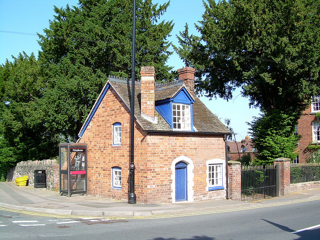
Image: © Alan Rosevear Taken: 23 May 2006
Toll House in the parish of Ledbury (Herefordshire District), Toll Cottage, at the junction of The Southend (A449) and Mabel's Furlong. Grade II listed. List Entry Number: 1082809 https://historicengland.org.uk/listing/the-list/list-entry/1082809 Surveyed Milestone Society National ID: HF.LED01
Images are licensed for reuse under creativecommons.org/licenses/by-sa/2.0
Image Location
Latitude
52.032919
Longitude
-2.42172