Old Toll House, Posenhall
Introduction
The photograph on this page of Old Toll House, Posenhall by Milestone Society as part of the Geograph project.
The Geograph project started in 2005 with the aim of publishing, organising and preserving representative images for every square kilometre of Great Britain, Ireland and the Isle of Man.

There are currently over 7.5m images from over 14,400 individuals and you can help contribute to the project by visiting https://www.geograph.org.uk
Old Toll House, Posenhall
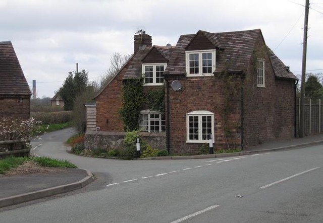
Image: © Milestone Society Taken: Unknown
Toll House in the parish of Broseley, at the junction of Wyke Lane and Benthall Lane (B4375). Shropshire HER. HER Number (PRN): 33118 https://www.heritagegateway.org.uk/Gateway/Results_Single.aspx?uid=MSA35965&resourceID=1015 Surveyed Milestone Society National ID: SA.BRO03
Images are licensed for reuse under creativecommons.org/licenses/by-sa/2.0
Image Location


Leaflet Map data © OpenStreetMap
Latitude
52.611515
Longitude
-2.508456