Old Toll House, Critch Hill
Introduction
The photograph on this page of Old Toll House, Critch Hill by Alan Rosevear as part of the Geograph project.
The Geograph project started in 2005 with the aim of publishing, organising and preserving representative images for every square kilometre of Great Britain, Ireland and the Isle of Man.

There are currently over 7.5m images from over 14,400 individuals and you can help contribute to the project by visiting https://www.geograph.org.uk
Old Toll House, Critch Hill
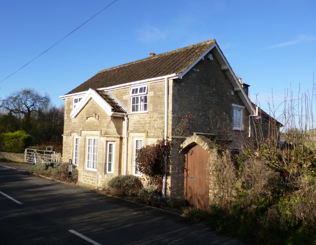
Image: © Alan Rosevear Taken: 1 Dec 2012
Toll House in the parish of Nunney, Turnpike Cottage, Critch Hill, BA11 4LJ. Somerset HER. HER number: 37397 https://www.heritagegateway.org.uk/Gateway/Results_Single.aspx?uid=37397&resourceID=100 Surveyed Milestone Society National ID: SO.SEL02
Images are licensed for reuse under creativecommons.org/licenses/by-sa/2.0
Image Location


Leaflet Map data © OpenStreetMap
Latitude
51.223939
Longitude
-2.346261