Old Toll House by the B4040, The Street, Charlton
Introduction
The photograph on this page of Old Toll House by the B4040, The Street, Charlton by Alan Rosevear as part of the Geograph project.
The Geograph project started in 2005 with the aim of publishing, organising and preserving representative images for every square kilometre of Great Britain, Ireland and the Isle of Man.

There are currently over 7.5m images from over 14,400 individuals and you can help contribute to the project by visiting https://www.geograph.org.uk
Old Toll House by the B4040, The Street, Charlton
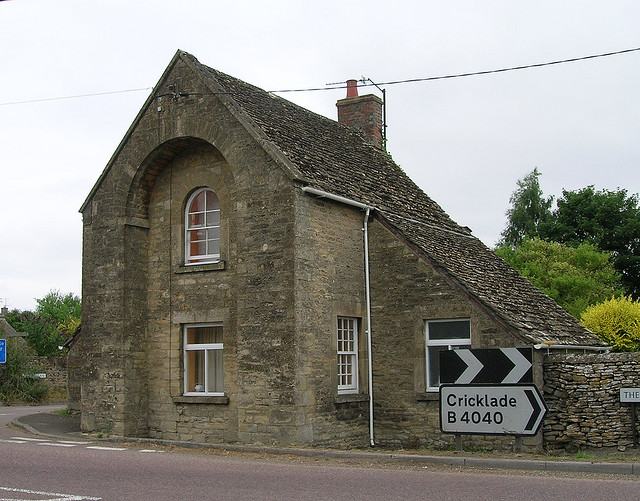
Image: © Alan Rosevear Taken: Unknown
Charlton by the B4040, in parish of Charlton (North Wiltshire District), The Tollhouse, The Street, SN16 9DL. Surveyed Milestone Society National ID: WI.CHA
Images are licensed for reuse under creativecommons.org/licenses/by-sa/2.0
Image Location
Latitude
51.599199
Longitude
-2.055753