Old Toll House by the A345, Amesbury Road, Salisbury
Introduction
The photograph on this page of Old Toll House by the A345, Amesbury Road, Salisbury by Alan Rosevear as part of the Geograph project.
The Geograph project started in 2005 with the aim of publishing, organising and preserving representative images for every square kilometre of Great Britain, Ireland and the Isle of Man.

There are currently over 7.5m images from over 14,400 individuals and you can help contribute to the project by visiting https://www.geograph.org.uk
Old Toll House by the A345, Amesbury Road, Salisbury
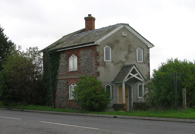
Image: © Alan Rosevear Taken: Unknown
Old Sarum and side by the A345, in parish of Laverstock (Salisbury District), Beehive Cottage, Amesbury Road, junction with Portway (double gate - Amesbury line and Winterbourn line), SP4. Grade II listed. List Entry Number: 1023822 https://historicengland.org.uk/listing/the-list/list-entry/1023822 Surveyed Milestone Society National ID: WI.LAV
Images are licensed for reuse under creativecommons.org/licenses/by-sa/2.0
Image Location
Latitude
51.098046
Longitude
-1.796875