Old Toll House by the A3098, Chalcot Lane, Chapmanslade
Introduction
The photograph on this page of Old Toll House by the A3098, Chalcot Lane, Chapmanslade by Alan Rosevear as part of the Geograph project.
The Geograph project started in 2005 with the aim of publishing, organising and preserving representative images for every square kilometre of Great Britain, Ireland and the Isle of Man.

There are currently over 7.5m images from over 14,400 individuals and you can help contribute to the project by visiting https://www.geograph.org.uk
Old Toll House by the A3098, Chalcot Lane, Chapmanslade
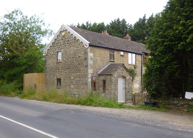
Image: © Alan Rosevear Taken: 24 Jun 2013
Toll House by the A3098, in parish of Chapmanslade (West Wiltshire District), Turnpike Cottage, Chalcot Lane, Chapmanslade (North East of Dead Maids), BA13 4AB. Surveyed Milestone Society National ID: WI.CMS
Images are licensed for reuse under creativecommons.org/licenses/by-sa/2.0
Image Location
Latitude
51.234693
Longitude
-2.233933