Old Toll House, Chard
Introduction
The photograph on this page of Old Toll House, Chard by Alan Rosevear as part of the Geograph project.
The Geograph project started in 2005 with the aim of publishing, organising and preserving representative images for every square kilometre of Great Britain, Ireland and the Isle of Man.

There are currently over 7.5m images from over 14,400 individuals and you can help contribute to the project by visiting https://www.geograph.org.uk
Old Toll House, Chard
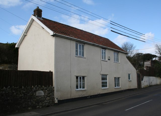
Image: © Alan Rosevear Taken: 5 Mar 2012
Turnpike Cottage on Crimchard at its junction with Catchgate Lane, TA20 3PS. Somerset HER. HER number: 53308 https://www.heritagegateway.org.uk/Gateway/Results_Single.aspx?uid=53308&resourceID=100 Surveyed Milestone Society National ID: SO.CHA03
Images are licensed for reuse under creativecommons.org/licenses/by-sa/2.0
Image Location
Latitude
50.879932
Longitude
-2.971066