Former Tollhouse by the A9, south east of Tain
Introduction
The photograph on this page of Former Tollhouse by the A9, south east of Tain by Milestone Society as part of the Geograph project.
The Geograph project started in 2005 with the aim of publishing, organising and preserving representative images for every square kilometre of Great Britain, Ireland and the Isle of Man.

There are currently over 7.5m images from over 14,400 individuals and you can help contribute to the project by visiting https://www.geograph.org.uk
Former Tollhouse by the A9, south east of Tain
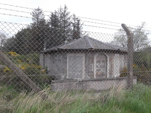
Image: © Milestone Society Taken: Unknown
Toll House by the East side of the A9 on cut-off section, in parish of Tain (Highland District), Knockbreck Toll House. Surveyed Milestone Society National ID: HI.TAI
Images are licensed for reuse under creativecommons.org/licenses/by-sa/2.0
Image Location
Latitude
57.800025
Longitude
-4.040899