Former Toll House by the B7020, Clayhouse Toll Bar
Introduction
The photograph on this page of Former Toll House by the B7020, Clayhouse Toll Bar by Milestone Society as part of the Geograph project.
The Geograph project started in 2005 with the aim of publishing, organising and preserving representative images for every square kilometre of Great Britain, Ireland and the Isle of Man.

There are currently over 7.5m images from over 14,400 individuals and you can help contribute to the project by visiting https://www.geograph.org.uk
Former Toll House by the B7020, Clayhouse Toll Bar
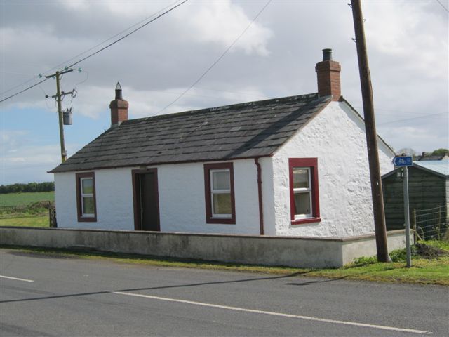
Image: © Milestone Society Taken: Unknown
Toll House by the B7020, in parish of Cummertrees (Annandale District), Toll Bar Cottage, Clayhouse Toll Bar. Surveyed Milestone Society National ID: DG.CLY
Images are licensed for reuse under creativecommons.org/licenses/by-sa/2.0
Image Location
Latitude
55.015423
Longitude
-3.33575