Durham Wynd, Lower Largo
Introduction
The photograph on this page of Durham Wynd, Lower Largo by Bill Kasman as part of the Geograph project.
The Geograph project started in 2005 with the aim of publishing, organising and preserving representative images for every square kilometre of Great Britain, Ireland and the Isle of Man.

There are currently over 7.5m images from over 14,400 individuals and you can help contribute to the project by visiting https://www.geograph.org.uk
Durham Wynd, Lower Largo
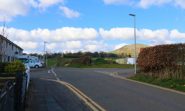
Image: © Bill Kasman Taken: 9 Apr 2019
The turning to the left is Durham Gardens and that to the right is Castaway Lane, the entrance to the new housing development of Selkirk Grove which is still under construction. The hill is Largo Law. See Lower Largo articlehttps://www.geograph.org.uk/article/Lower-Largo-and-the-Serpentine-Walk
Images are licensed for reuse under creativecommons.org/licenses/by-sa/2.0
Image Location
Latitude
56.215386
Longitude
-2.937881