Durham Hall, Lower Largo
Introduction
The photograph on this page of Durham Hall, Lower Largo by Bill Kasman as part of the Geograph project.
The Geograph project started in 2005 with the aim of publishing, organising and preserving representative images for every square kilometre of Great Britain, Ireland and the Isle of Man.

There are currently over 7.5m images from over 14,400 individuals and you can help contribute to the project by visiting https://www.geograph.org.uk
Durham Hall, Lower Largo
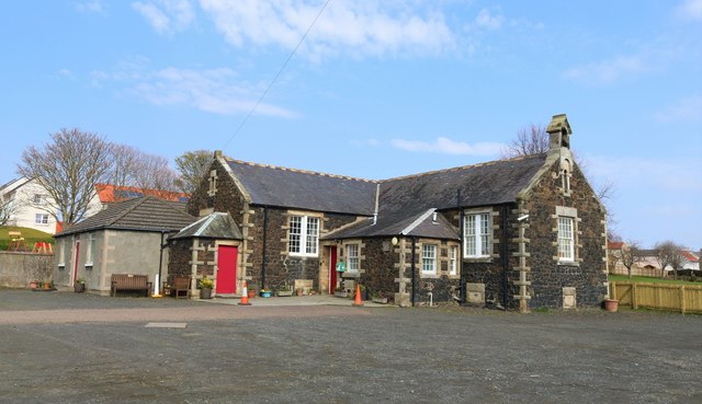
Image: © Bill Kasman Taken: 8 Apr 2019
Originally built in the 1890s as a school Durham Hall was acquired by Largo St. David's Church in 1957 and now serves as a church and community hall. See Lower Largo articlehttps://www.geograph.org.uk/article/Lower-Largo-and-the-Serpentine-Walk
Images are licensed for reuse under creativecommons.org/licenses/by-sa/2.0
Image Location
Latitude
56.213955
Longitude
-2.937039