Barton-le-Clay: an aerial view
Introduction
The photograph on this page of Barton-le-Clay: an aerial view by Chris Downer as part of the Geograph project.
The Geograph project started in 2005 with the aim of publishing, organising and preserving representative images for every square kilometre of Great Britain, Ireland and the Isle of Man.

There are currently over 7.5m images from over 14,400 individuals and you can help contribute to the project by visiting https://www.geograph.org.uk
Barton-le-Clay: an aerial view
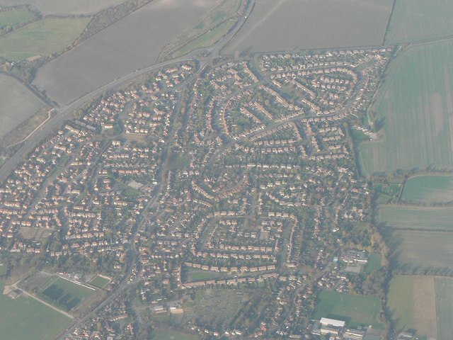
Image: © Chris Downer Taken: 12 Nov 2007
A graphic interpretation of the map for this square – individual roads can be identified; the by-pass around the western side of the village, ending at the roundabout towards the top of the picture, and the surrounding countryside.
Images are licensed for reuse under creativecommons.org/licenses/by-sa/2.0
Image Location
Latitude
51.971488
Longitude
-0.422525