Direction signs on a Marshfield corner
Introduction
The photograph on this page of Direction signs on a Marshfield corner by Jaggery as part of the Geograph project.
The Geograph project started in 2005 with the aim of publishing, organising and preserving representative images for every square kilometre of Great Britain, Ireland and the Isle of Man.

There are currently over 7.5m images from over 14,400 individuals and you can help contribute to the project by visiting https://www.geograph.org.uk
Direction signs on a Marshfield corner
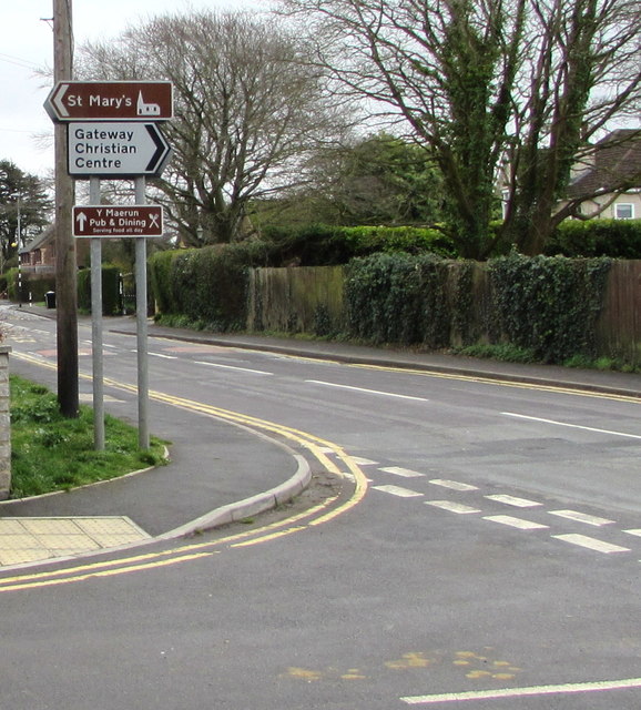
Image: © Jaggery Taken: 21 Mar 2019
Left along Church Lane for St Mary's Church. Right along St Mellons Road for Gateway Christian Centre. Ahead along Marshfield Road for Y Maerun pub & dining.
Images are licensed for reuse under creativecommons.org/licenses/by-sa/2.0
Image Location
Latitude
51.533228
Longitude
-3.065788