Downhill to Denhead
Introduction
The photograph on this page of Downhill to Denhead by Scott Cormie as part of the Geograph project.
The Geograph project started in 2005 with the aim of publishing, organising and preserving representative images for every square kilometre of Great Britain, Ireland and the Isle of Man.

There are currently over 7.5m images from over 14,400 individuals and you can help contribute to the project by visiting https://www.geograph.org.uk
Downhill to Denhead
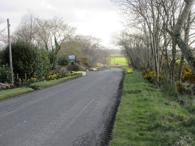
Image: © Scott Cormie Taken: 9 Apr 2019
The Peat Inn to Strathkinness road heading downhill from near the high point of the shoulder over the east flank of Drumcarrow Craig.
Images are licensed for reuse under creativecommons.org/licenses/by-sa/2.0
Image Location
Latitude
56.308992
Longitude
-2.865984