Approaching woodland near Hawkmoor Hill
Introduction
The photograph on this page of Approaching woodland near Hawkmoor Hill by Alan Walker as part of the Geograph project.
The Geograph project started in 2005 with the aim of publishing, organising and preserving representative images for every square kilometre of Great Britain, Ireland and the Isle of Man.

There are currently over 7.5m images from over 14,400 individuals and you can help contribute to the project by visiting https://www.geograph.org.uk
Approaching woodland near Hawkmoor Hill
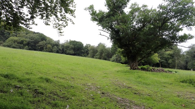
Image: © Alan Walker Taken: 1 Sep 2018
The photograph shows a bridleway approaching woodland that lies between Hawkmoor Hill (immediately behind the viewpoint) and Bridewell (ahead). This point was reached after descending from Lambert's Castle having taken a steep path through woodland, crossing the B3165 and then the field on the left. To see a photograph taken some 160metres ahead, click here:- Image
Images are licensed for reuse under creativecommons.org/licenses/by-sa/2.0
Image Location
Latitude
50.791641
Longitude
-2.893473