West Bridgford: building work on Stratford Road
Introduction
The photograph on this page of West Bridgford: building work on Stratford Road by John Sutton as part of the Geograph project.
The Geograph project started in 2005 with the aim of publishing, organising and preserving representative images for every square kilometre of Great Britain, Ireland and the Isle of Man.

There are currently over 7.5m images from over 14,400 individuals and you can help contribute to the project by visiting https://www.geograph.org.uk
West Bridgford: building work on Stratford Road
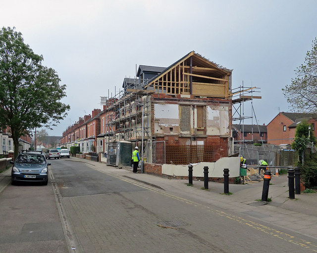
Image: © John Sutton Taken: 8 Apr 2019
The twitchel beyond the bollards on the right leads to Epperstone Road. The newer houses in the background on the right were built after the levelling of the embankment which once carried the Nottingham to Melton Mowbray railway through Bridgford.
Images are licensed for reuse under creativecommons.org/licenses/by-sa/2.0
Image Location
Latitude
52.931897
Longitude
-1.130092