Okehampton, Charter Hall
Introduction
The photograph on this page of Okehampton, Charter Hall by Brian Westlake as part of the Geograph project.
The Geograph project started in 2005 with the aim of publishing, organising and preserving representative images for every square kilometre of Great Britain, Ireland and the Isle of Man.

There are currently over 7.5m images from over 14,400 individuals and you can help contribute to the project by visiting https://www.geograph.org.uk
Okehampton, Charter Hall
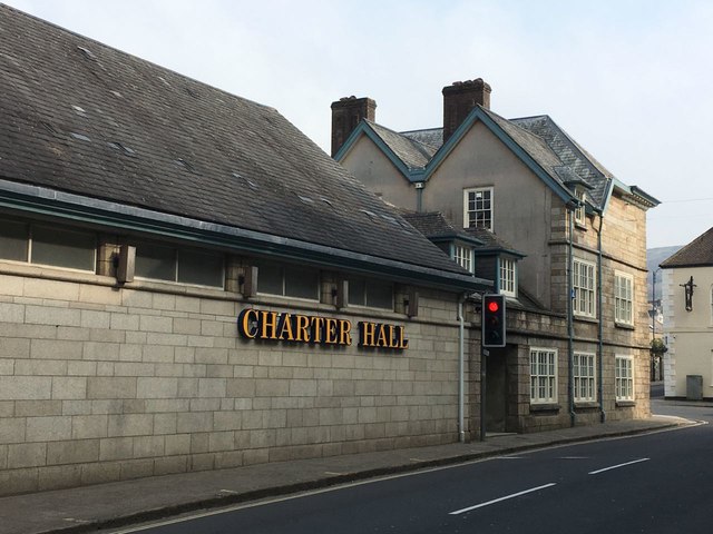
Image: © Brian Westlake Taken: 31 Mar 2019
The Charter Hall is part of the former Market Hall and was the location of a flush bracket benchmark, now gone. See https://www.bench-marks.org.uk/bm20733 for info on the mark.
Images are licensed for reuse under creativecommons.org/licenses/by-sa/2.0
Image Location
Latitude
50.739267
Longitude
-4.003594