Highway boundary markers near Malton
Introduction
The photograph on this page of Highway boundary markers near Malton by Malc McDonald as part of the Geograph project.
The Geograph project started in 2005 with the aim of publishing, organising and preserving representative images for every square kilometre of Great Britain, Ireland and the Isle of Man.

There are currently over 7.5m images from over 14,400 individuals and you can help contribute to the project by visiting https://www.geograph.org.uk
Highway boundary markers near Malton
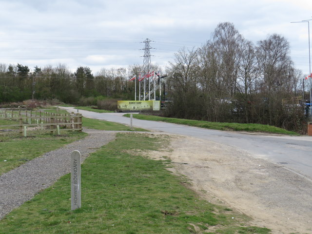
Image: © Malc McDonald Taken: 27 Mar 2019
Highway boundary marker posts on the road leading to Eden Camp, a museum near Malton in North Yorkshire.
Images are licensed for reuse under creativecommons.org/licenses/by-sa/2.0
Image Location
Latitude
54.152015
Longitude
-0.778117