Path junction in the north of Rhymney
Introduction
The photograph on this page of Path junction in the north of Rhymney by Jaggery as part of the Geograph project.
The Geograph project started in 2005 with the aim of publishing, organising and preserving representative images for every square kilometre of Great Britain, Ireland and the Isle of Man.

There are currently over 7.5m images from over 14,400 individuals and you can help contribute to the project by visiting https://www.geograph.org.uk
Path junction in the north of Rhymney
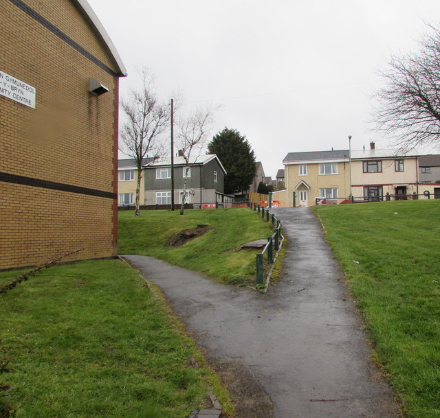
Image: © Jaggery Taken: 5 Apr 2019
The path on the right ascends from the B4257 to Aneurin Terrace. The edge of Ael-y-bryn Community Centre https://www.geograph.org.uk/photo/6110999 is on the left.
Images are licensed for reuse under creativecommons.org/licenses/by-sa/2.0
Image Location
Latitude
51.770776
Longitude
-3.290943