Field above Bridgetown
Introduction
The photograph on this page of Field above Bridgetown by Derek Harper as part of the Geograph project.
The Geograph project started in 2005 with the aim of publishing, organising and preserving representative images for every square kilometre of Great Britain, Ireland and the Isle of Man.

There are currently over 7.5m images from over 14,400 individuals and you can help contribute to the project by visiting https://www.geograph.org.uk
Field above Bridgetown
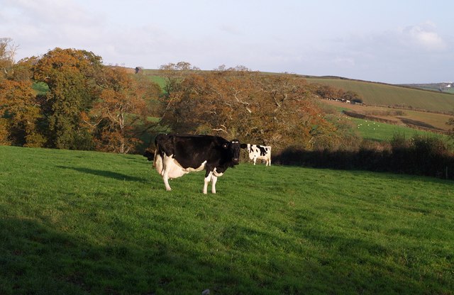
Image: © Derek Harper Taken: 9 Nov 2007
That cow needs milking! On the far side of the field (viewed from the lane between Wilkie Down Farm and Bridgetown), oak trees occupy a small short valley which descends to the right to the Tamar.
Images are licensed for reuse under creativecommons.org/licenses/by-sa/2.0
Image Location
Latitude
50.681513
Longitude
-4.355319