Ael y Bryn direction sign, Upper High Street, Rhymney
Introduction
The photograph on this page of Ael y Bryn direction sign, Upper High Street, Rhymney by Jaggery as part of the Geograph project.
The Geograph project started in 2005 with the aim of publishing, organising and preserving representative images for every square kilometre of Great Britain, Ireland and the Isle of Man.

There are currently over 7.5m images from over 14,400 individuals and you can help contribute to the project by visiting https://www.geograph.org.uk
Ael y Bryn direction sign, Upper High Street, Rhymney
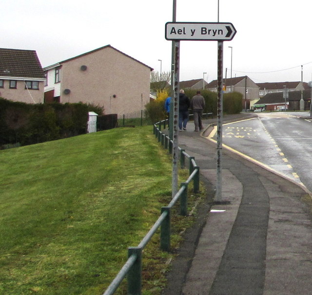
Image: © Jaggery Taken: 5 Apr 2019
Near a bus stop on the west side of the B4257 Upper High Street in the north of Rhymney.
Images are licensed for reuse under creativecommons.org/licenses/by-sa/2.0
Image Location
Latitude
51.768277
Longitude
-3.289278